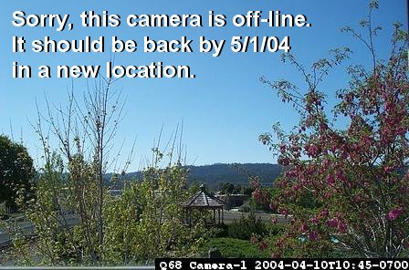
Current View (You may need to Refresh or Reload to get the latest pictures.)
Mid-day Clear View
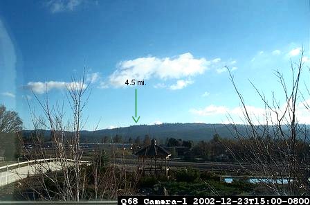
The green arrow indicates a ridge line approximately 4.5 miles away. If you can see the ridge line, you know you have four and a half miles of visiblity.
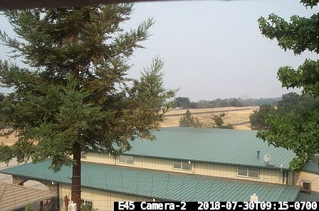
Current View
Mid-day Clear View
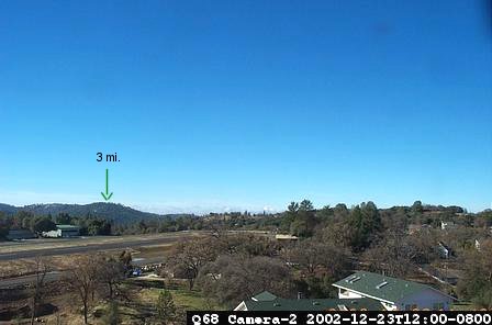
The green arrow indicates a ridge line at approximately 3 miles. If you can see the ridge line, you know you have three miles of visiblity.
The archive will open in a new window. The pictures are sorted with the most recent at the bottom. I suggest that you right click on the picture that you are interested in and select; Open in New Window, Save Target As..., or Print Target.
Both cameras currently update every 15 minutes. Timestamps represent the Pacific time zone (California, USA). Using your browser's RELOAD or REFRESH feature should update these views if needed.
View Areas
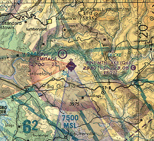
Approximate areas of view. Camera-1 in blue. Camera-2 in pink.
Link to E45 airport data from Airnav.com
![]()